Acquedotto Nottolini, Lucca, Italia
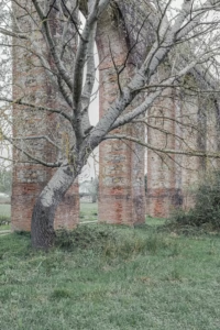
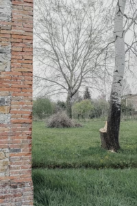
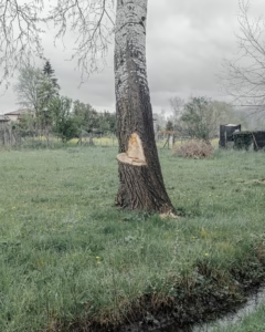
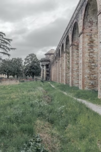
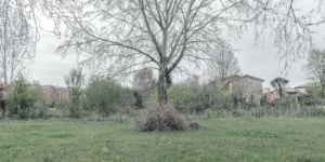
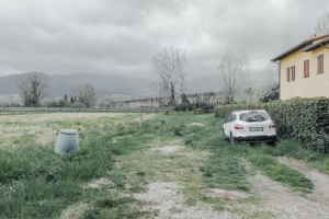
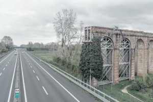
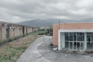
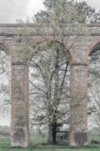
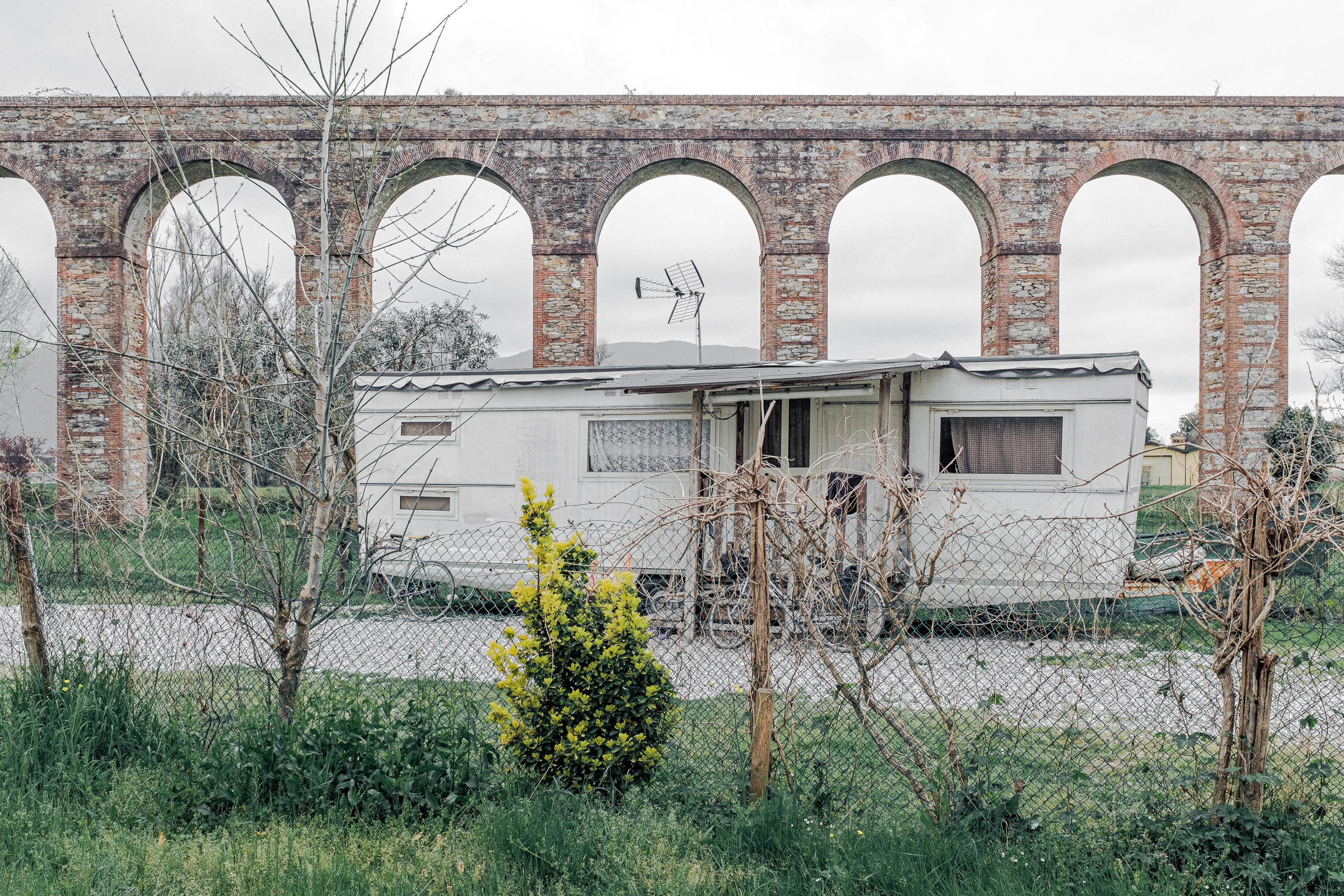
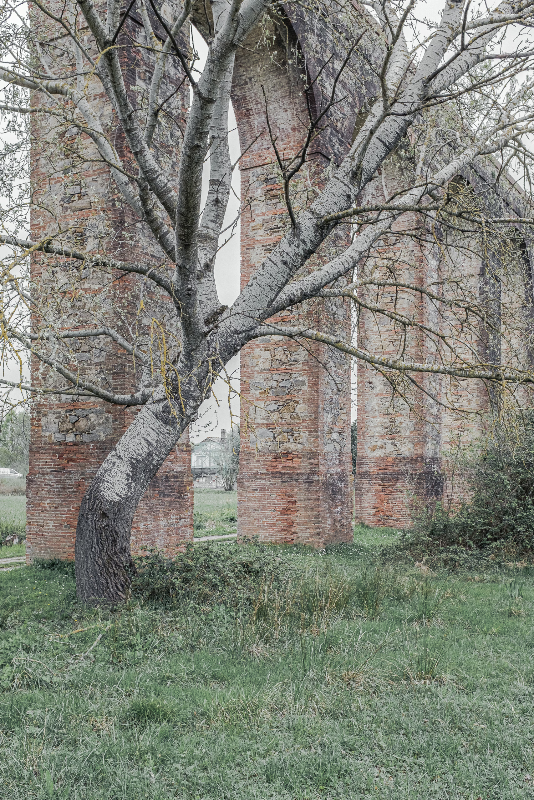
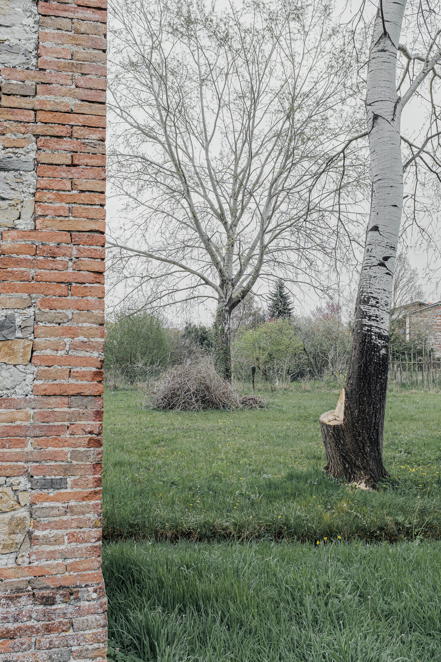
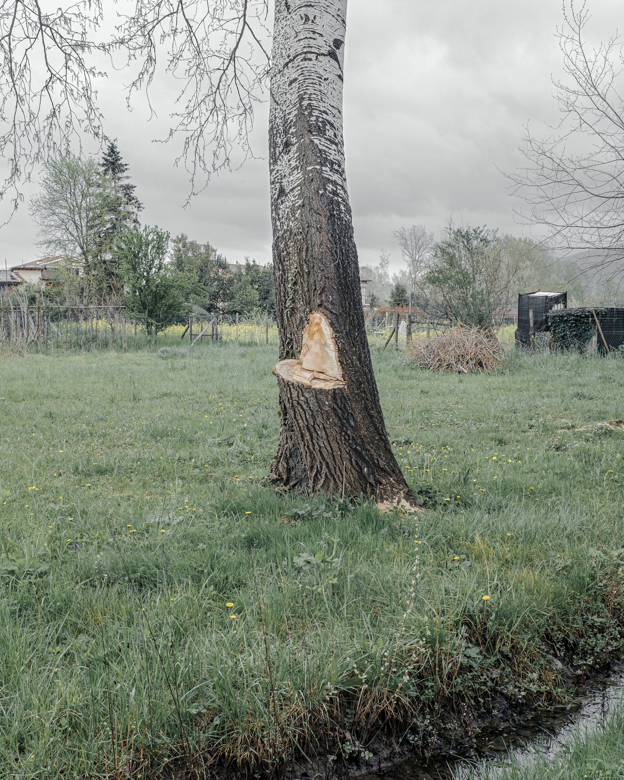
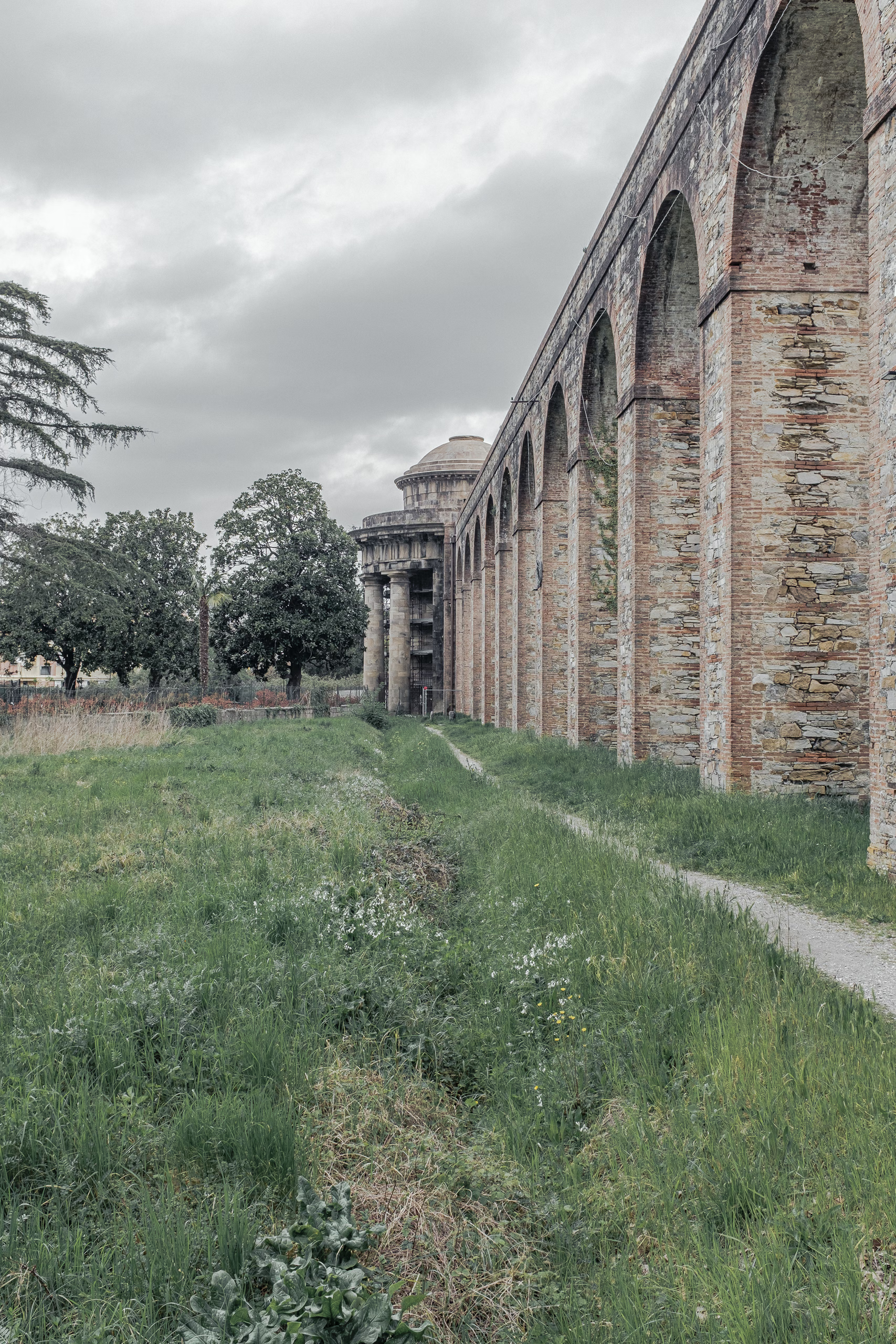
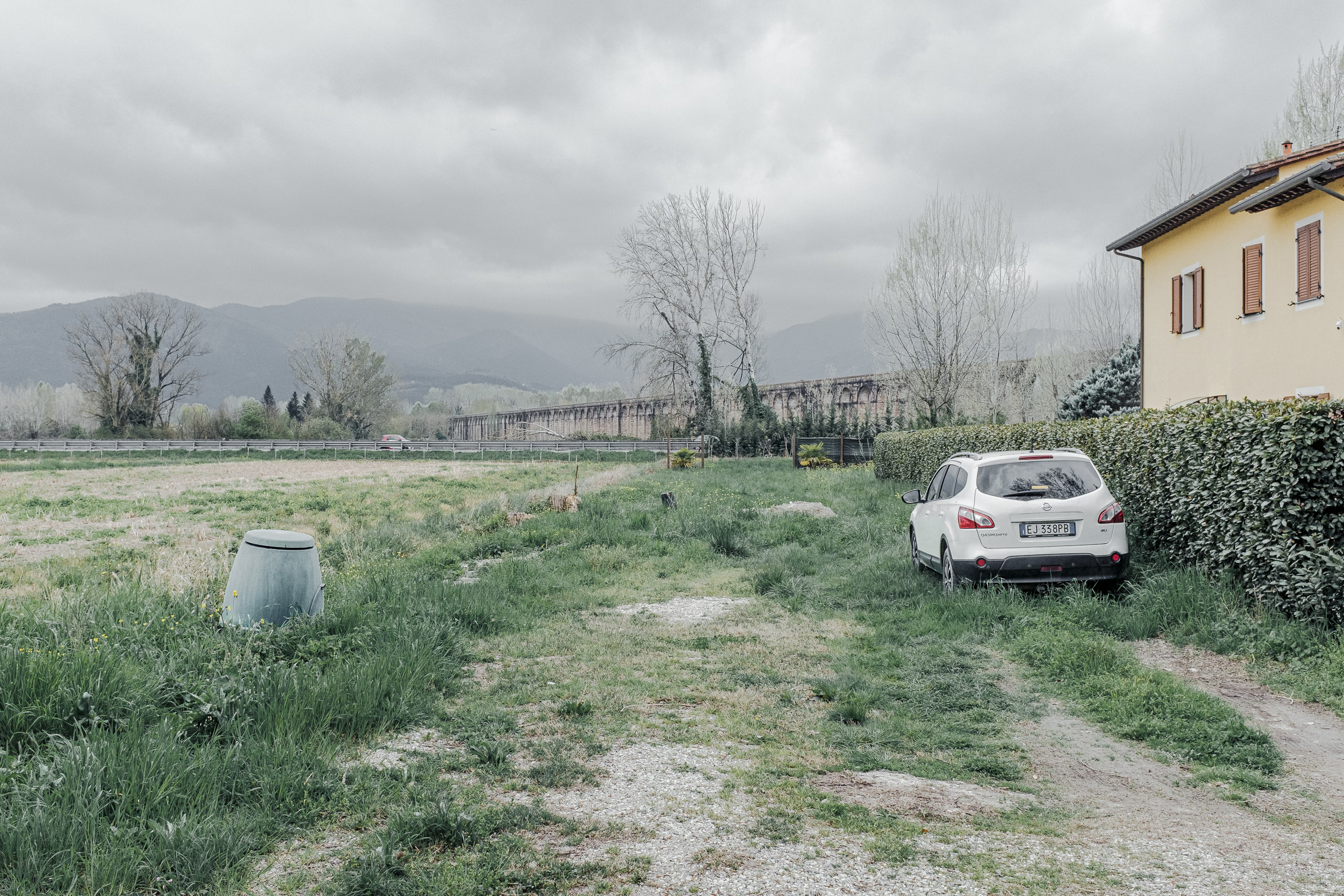
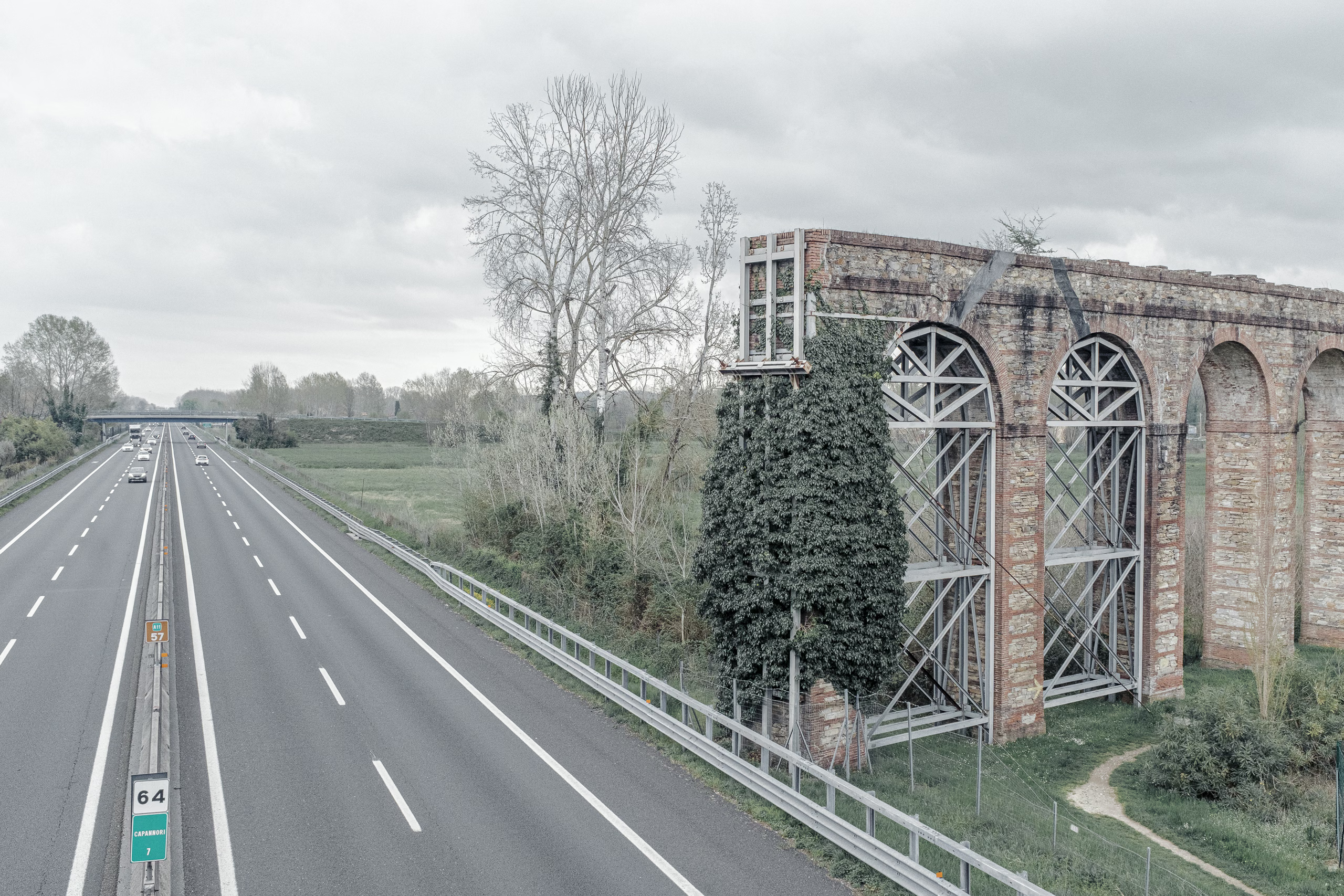
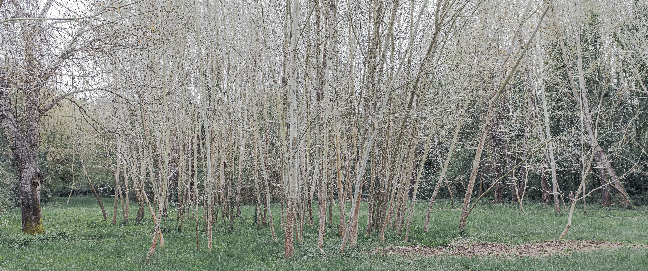
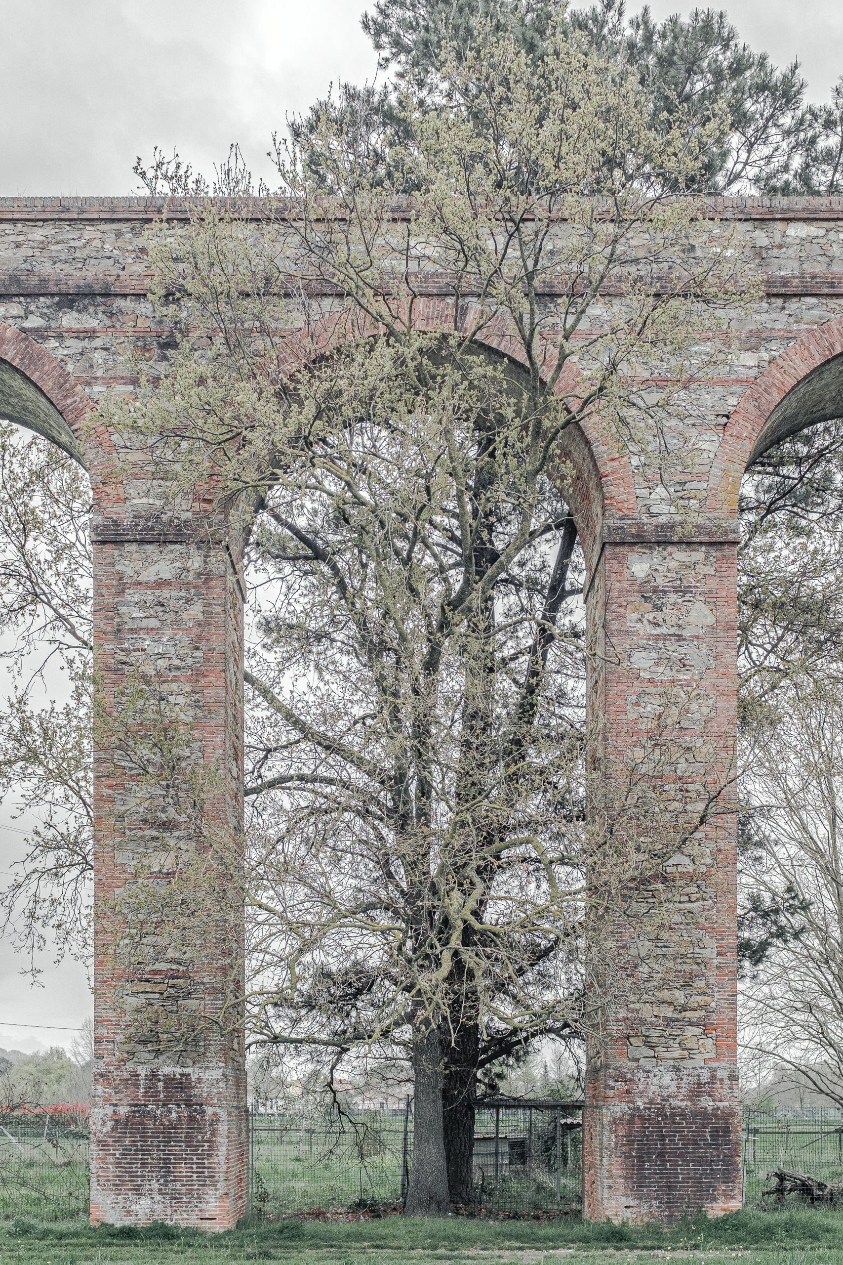
The Aqueduct of Nottolini was constructed in the early 1800s to supply water to fountains in the city of Lucca from hilltop springs four and a half kilometres to the south-east. Along the dead-straight line of 400 arches, the environment has been bent, or bent itself, to this structure: A tree whose protruding limb was cut back from the arches, leaving a heart-shaped scar in its bark; the autostrada A11, whose construction, by the Mussolini government in 1928, necessitated the replacement of two aches by a single extended arch over the roadway, which was later destroyed in 1944 by retreating Nazis before a further five arches were removed when the highway was widened in the 1960s; another tree, limbo-leaning away from the arches to gather light.
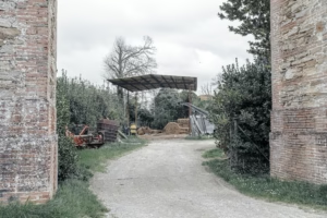
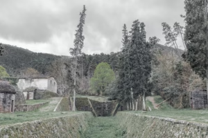
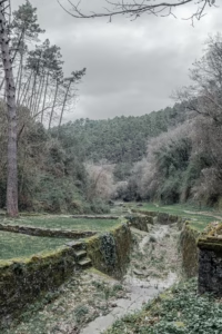
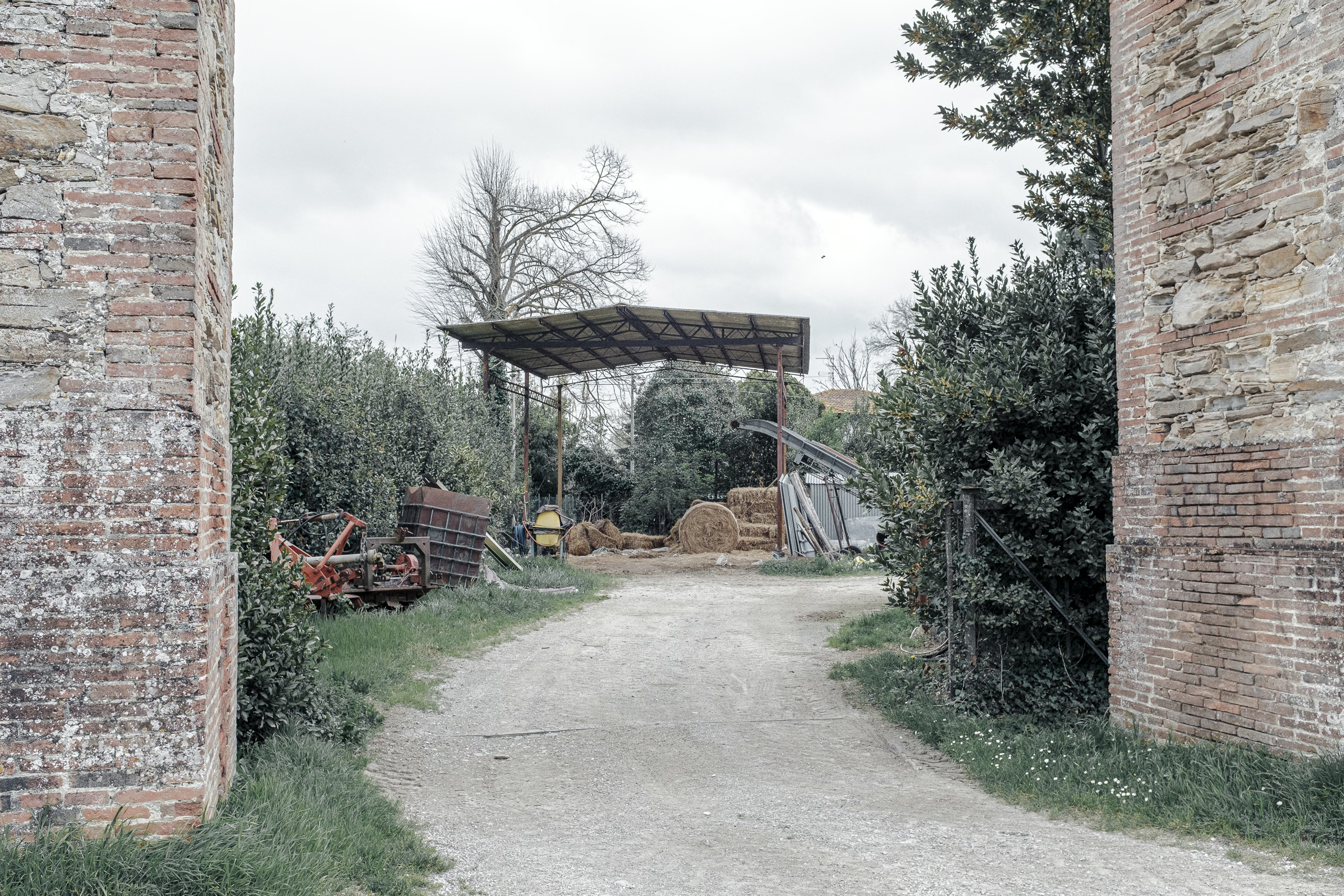
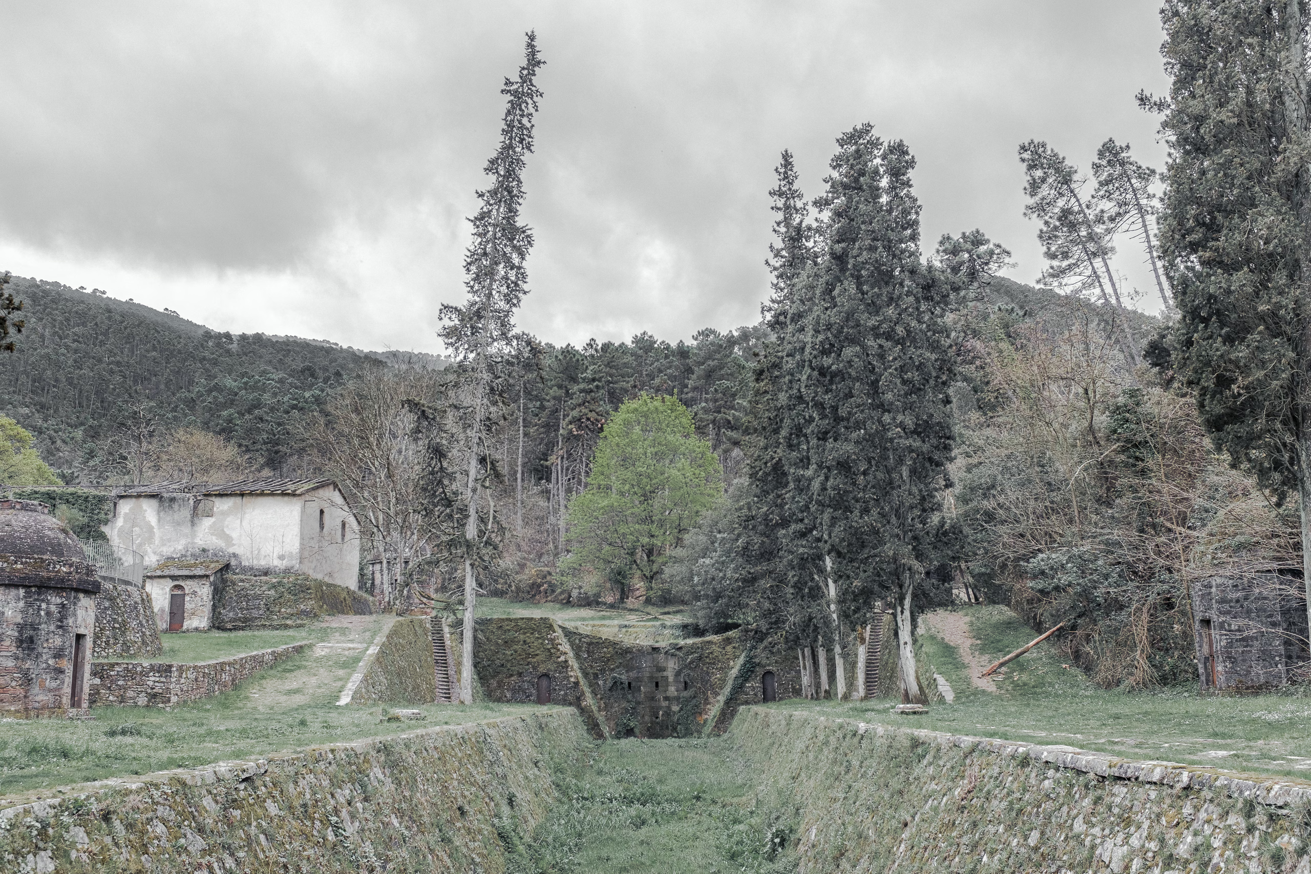
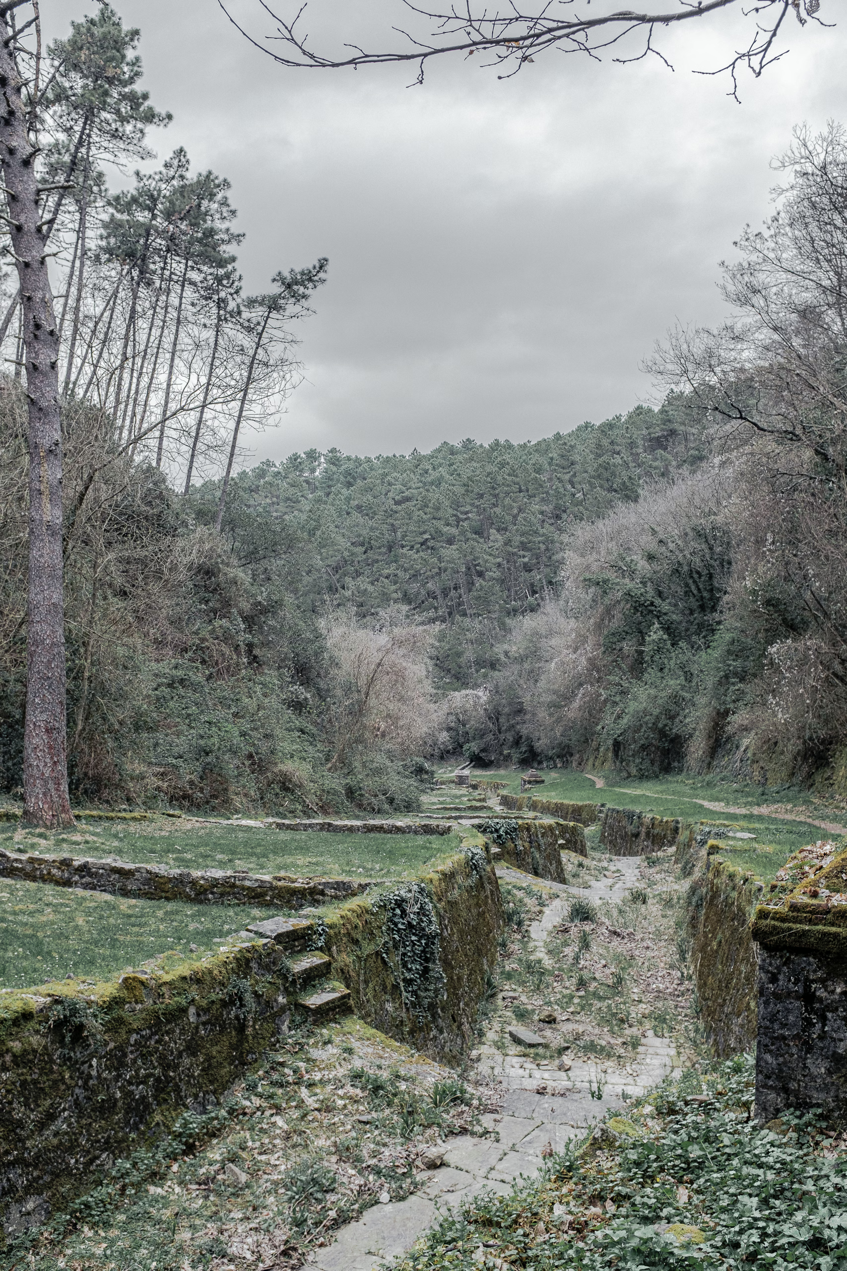
The aqueduct ends at “Golden Words,” a series of bridges, pathways, and channels near the base of Monte di Vorno, funnelling spring water towards the aqueduct. The name comes from the Latin inscription adorning a bridge in yellow brass. It’s enlightenment planning all the way through, punctuated by neoclassical tempietti-cisterns, farm buildings, and rural roads — the opposing lanes diverging around a central pier.
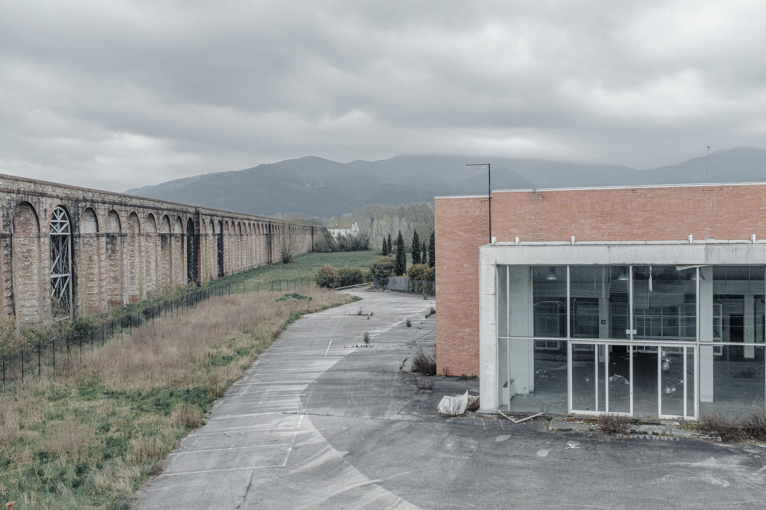
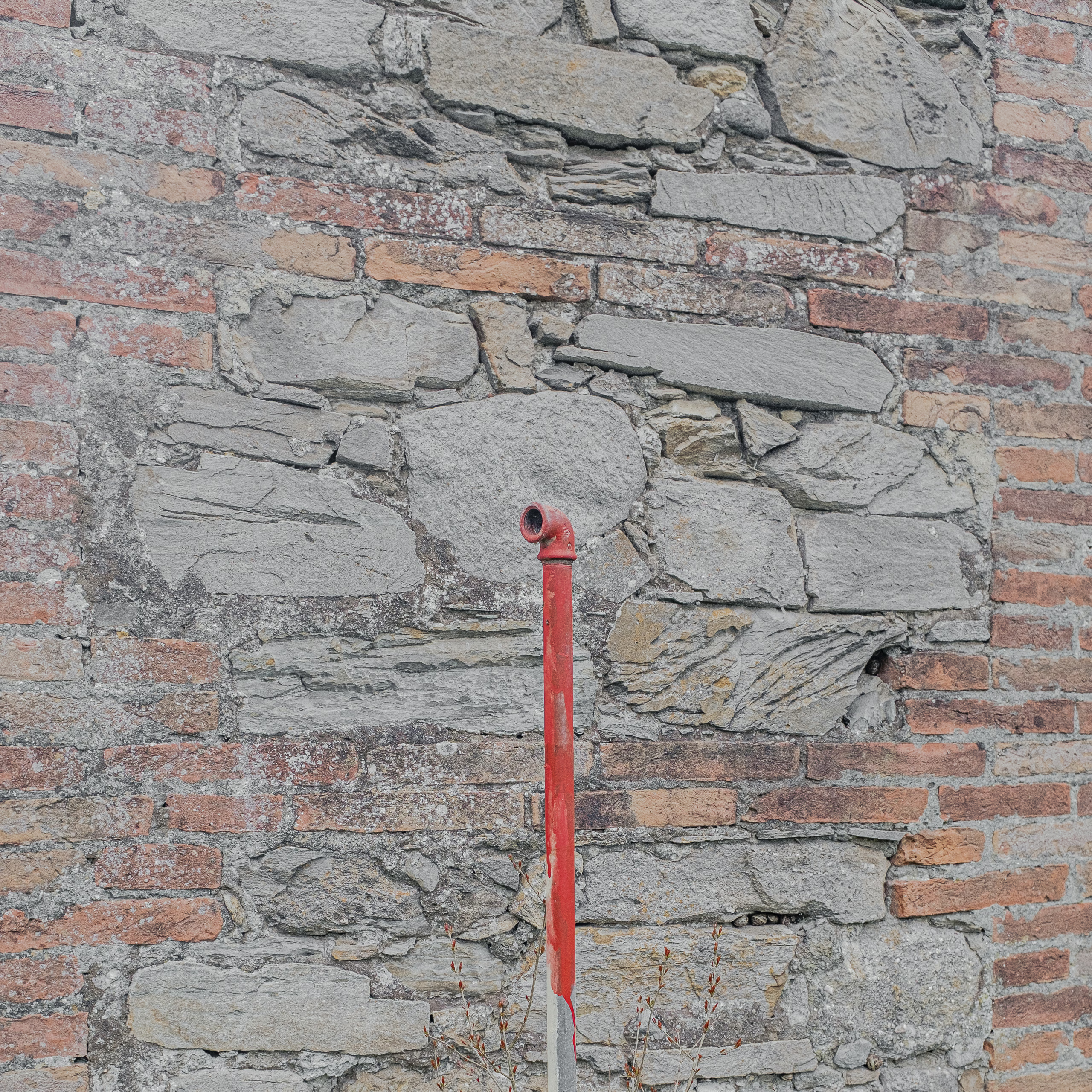
An example of ‘anthropological geology’, the aqueduct is constructed from blocks of stone and fired-earth stacked by people the arches will far outlive: by centuries, if not millennia. In the meantime, more temporary traces, trees, and human activities mould themselves around it: So when the aqueduct was decommissioned in the mid-20th century to be replaced by a modern system of underground pipes, guess where they laid them…
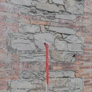
Today, taps rise from the ground every half kilometre or so, neatly attached to the piers. At late-morning, one finds local restauranteurs here filling baskets of glass bottles to provide this special water to their guests, directly from the source. Click an image to open in lightbox.